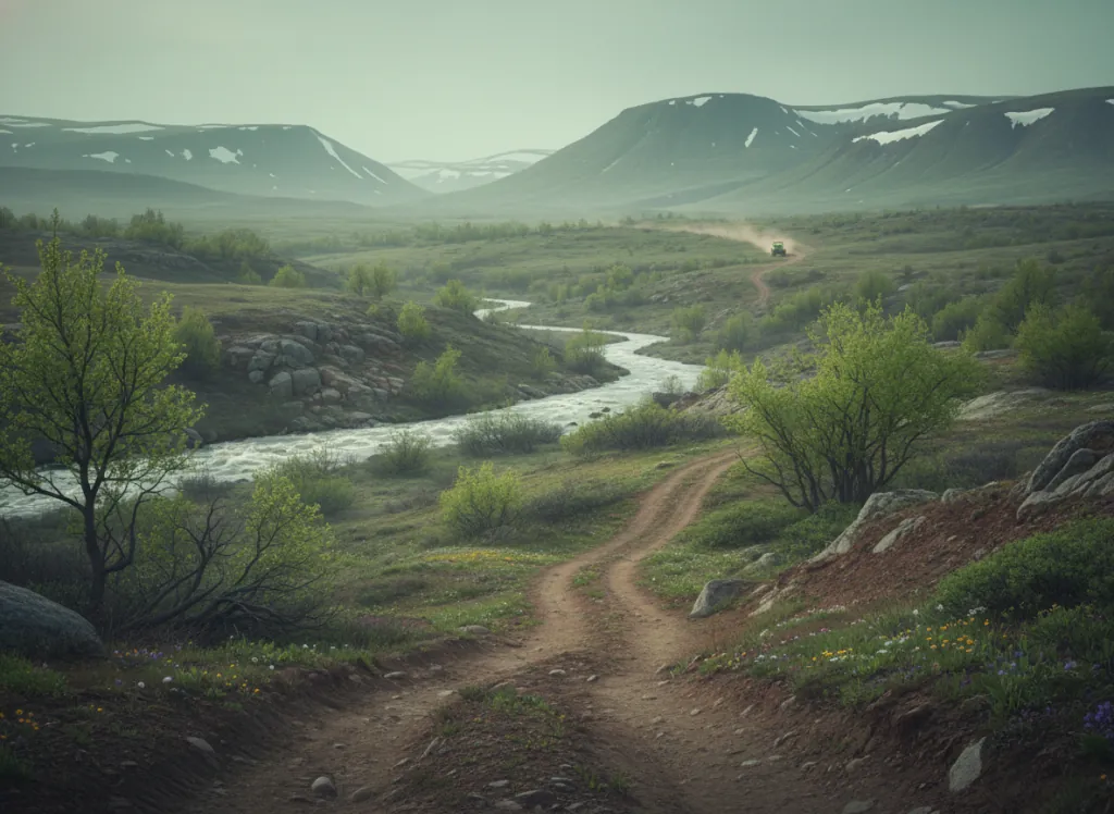
The Plumas National Forest encompasses 1.1 million acres of the northern Sierra Nevada in Plumas, Sierra, and Butte counties: the transition zone between the High Sierra's granite core to the south and the Cascade volcanic province to the north, where the Sierra Nevada grades into the Modoc Plateau through a landscape of glaciated river canyons, volcanic tablelands, and the heavily forested ridges of the Feather River country. Quincy, a small mountain city at 3,400 feet in the American Valley, serves as the forest's hub community and the primary staging point for OHV access into the northern Sierra. The Plumas OHV system includes designated trail networks and forest road routes through the forest's five ranger districts: the Beckwourth, Feather River, Greenville, Graeagle, and Milford areas each present distinct terrain. The Feather River Canyon (one of the deepest river gorges in California at 2,000+ feet), defines the southern boundary of the most accessible OHV terrain; the Middle Fork Trail and associated forest road system in the canyon country provides technical canyon-rim riding. The Lakes Basin Recreation Area in the northern Plumas (Graeagle area) provides high-elevation OHV access to the glacially sculpted lake basin terrain between 5,500 and 7,400 feet. ATVs, UTVs, dirt bikes, and full-size 4x4 vehicles on appropriate routes are accommodated. California OHV registration required. Plumas NF supervisor's office in Quincy (530-283-2050) coordinates district-level OHV route information.
Hours
Open approximately May through November on upper-elevation routes; lower elevation trails accessible year-round. No day-use fee. California OHV registration required.
Phone
530-283-2050Trip openings, seasonal updates, and the occasional deal, straight to your inbox.
FAQ
Everything you need to know before you get started.
Have a question, or ready to book? Reach out and we’ll get right back to you.